Filtre
Filtre
- Mastergrader
- Europa
- Sverige
- Naturvitenskapsprogrammer
- Geoinformatikk
Sorter etter
4 Geoinformatikk Mastergrader Degree Programs in Sverige
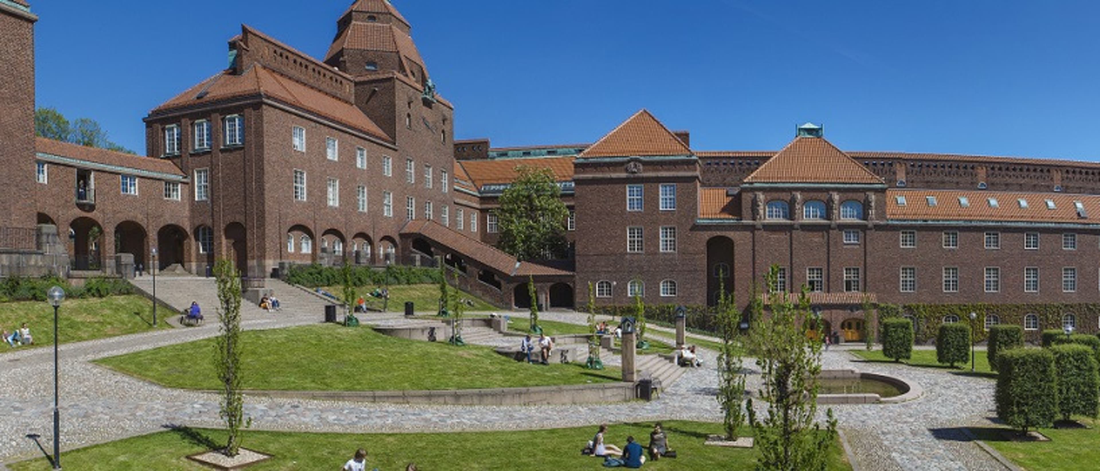

KTH Royal Institute of Technology
MSc Transport and Geoinformation Technology
- Stockholm, Sverige
MSc (Master of Science)
Fulltid
2 år
På universitetsområdet
Engelsk
Functional and environment-friendly transport systems are vital in a sustainable society. Students gain expertise in transport and geoinformation technology and learn how to plan, build and maintain advanced transport systems. Graduates blend practical data collection and modelling skills with an interdisciplinary understanding of transport and geoinformation that lead to job opportunities in various sectors.


Lund University
MSc in Geographical Information Systems
- Lund, Sverige
MSc (Master of Science)
Fulltid, Deltid
2 år
Fjernundervisning
Engelsk
This is an internet-based distance learning programme in which you learn how to analyse and model spatial phenomena, focusing on natural resources, using GIS (Geographical Information Systems) and remote sensing and environmental modelling. You can adopt the learning methods that work best for you and choose your own pace of study for any given semester. The programme offers hands-on training using up-to-date software and affords the opportunity to achieve deep theoretical understanding, as well as excellent technical skills, of e.g. spatial programming, SDI, database management, cartography and environmental modelling. The programme is taught by world-class faculties in Sweden (Lund University) and the Netherlands (University of Twente).
De beste programmene for deg
Svar på noen spørsmål, og vi vil matche deg med programmer!
Lund University
MSc in Geomatics
- Lund, Sverige
MSc (Master of Science)
Fulltid
2 år
På universitetsområdet
Engelsk
Geomatics involves the acquisition, management and analysis of phenomena with a spatial reference. The spatial analysis finds applications in many areas, such as health, environment management, natural resources assessment, urban planning, geology, archaeology and agronomy. This programme aims to provide you with knowledge in spatial analysis focusing mainly on environmental applications. Models and theories for understanding the Earth’s climate and ecosystems are integrated with knowledge for collecting environmental information using remote sensing, storing the information in databases and theories behind Geographical Information Systems (GIS).


Stockholm University
Master i geomatikk med fjernmåling og GIS
- Stockholm, Sverige
MSc (Master of Science)
Fulltid
2 år
På universitetsområdet
Engelsk
Dette masterprogrammet utvikler studentenes ferdigheter innen flere felt, som fjernmåling, GIS, metoder for modellering, eksplorativ dataanalyse og visualisering med fokus på jord- og miljøvitenskap. Landskapsendringer, miljøovervåking og kartlegging, så vel som miljøspørsmål generelt, står betydelig på den daglige politiske dagsorden.
Populær gradstype
Populært studieformat
Learn more about Geoinformatikk Mastergrader degree programs in Sverige
Fremtidige eller nåværende ingeniører, interessert i oppmålingsteknologien som brukes i applikasjoner som kartografi, kan være interessert i å forfølge studiet av geoinformatikk. Som en avdeling for ingeniørfag kan geoinformatikk være fokusert på teknologi, innsamling, bevaring og analyse av geografi.
Sverige (Sverige) er den største av de nordiske landene, med en befolkning på rundt 9,5 millioner. Det grenser Norge og Finland og er koblet til Danmark via broen over Öresund (Öresundsbron). Sverige har en sterk tradisjon for å være en åpen, men likevel diskret landet.